Rathad a' Bhr?igh
Introduction
The photograph on this page of Rathad a' Bhr?igh by M J Richardson as part of the Geograph project.
The Geograph project started in 2005 with the aim of publishing, organising and preserving representative images for every square kilometre of Great Britain, Ireland and the Isle of Man.

There are currently over 7.5m images from over 14,400 individuals and you can help contribute to the project by visiting https://www.geograph.org.uk
Rathad a' Bhr?igh
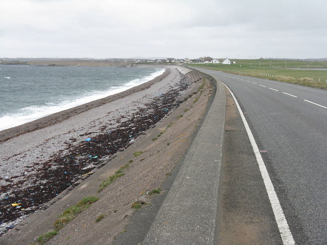
Image: © M J Richardson Taken: 12 May 2013
The A866 from the Eye Peninsula/An Rubha to Stornoway/Steòrnabhagh, with Loch Bràigh na h-Aoidhe on the left.
Images are licensed for reuse under creativecommons.org/licenses/by-sa/2.0
Image Location
Latitude
58.206085
Longitude
-6.298124