Boundary stone on the A58
Introduction
The photograph on this page of Boundary stone on the A58 by Humphrey Bolton as part of the Geograph project.
The Geograph project started in 2005 with the aim of publishing, organising and preserving representative images for every square kilometre of Great Britain, Ireland and the Isle of Man.

There are currently over 7.5m images from over 14,400 individuals and you can help contribute to the project by visiting https://www.geograph.org.uk
Boundary stone on the A58
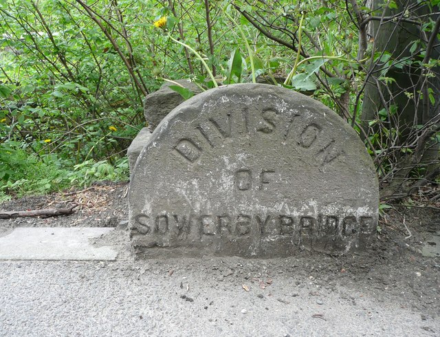
Image: © Humphrey Bolton Taken: 16 May 2013
This is on the boundary between the original Sowerby Bridge and Sowerby UDCs, before they were amalgamated in 1926. It is perhaps also where the road name changes from West Street to Rochdale Road.
Images are licensed for reuse under creativecommons.org/licenses/by-sa/2.0
Image Location
Latitude
53.703584
Longitude
-1.918165