Marches Line railway and a distant view of The Skirrid, Abergavenny
Introduction
The photograph on this page of Marches Line railway and a distant view of The Skirrid, Abergavenny by Jaggery as part of the Geograph project.
The Geograph project started in 2005 with the aim of publishing, organising and preserving representative images for every square kilometre of Great Britain, Ireland and the Isle of Man.

There are currently over 7.5m images from over 14,400 individuals and you can help contribute to the project by visiting https://www.geograph.org.uk
Marches Line railway and a distant view of The Skirrid, Abergavenny
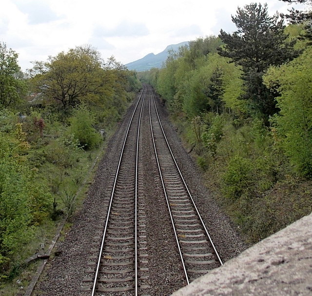
Image: © Jaggery Taken: 17 May 2013
Viewed from the B4233 on this http://www.geograph.org.uk/photo/3466956 bridge. In the distance is The Skirrid Image also known as Skirrid Fawr (Ysgyryd Fawr in Welsh). The jagged side was caused by Ice Age landslips.
Images are licensed for reuse under creativecommons.org/licenses/by-sa/2.0
Image Location
Latitude
51.827075
Longitude
-3.00422