Nottingham, NG1
Introduction
The photograph on this page of Nottingham, NG1 by David Hallam-Jones as part of the Geograph project.
The Geograph project started in 2005 with the aim of publishing, organising and preserving representative images for every square kilometre of Great Britain, Ireland and the Isle of Man.

There are currently over 7.5m images from over 14,400 individuals and you can help contribute to the project by visiting https://www.geograph.org.uk
Nottingham, NG1
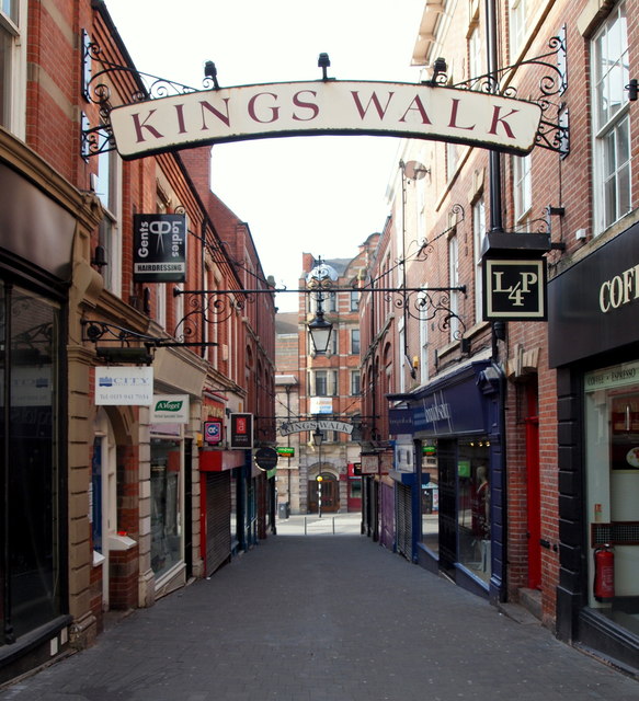
Image: © David Hallam-Jones Taken: 19 May 2013
Forman Street and Trinity Square behind the photographer this is the view 'down' King's Walk towards Upper Parliament Street.
Images are licensed for reuse under creativecommons.org/licenses/by-sa/2.0
Image Location
Latitude
52.95541
Longitude
-1.149418