Lemington Gut
Introduction
The photograph on this page of Lemington Gut by Andrew Curtis as part of the Geograph project.
The Geograph project started in 2005 with the aim of publishing, organising and preserving representative images for every square kilometre of Great Britain, Ireland and the Isle of Man.

There are currently over 7.5m images from over 14,400 individuals and you can help contribute to the project by visiting https://www.geograph.org.uk
Lemington Gut
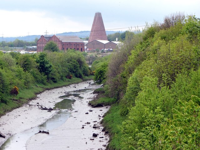
Image: © Andrew Curtis Taken: 19 May 2013
There is a wider view and description here Image In the distance can be seen the cone of Lemington Glassworks Image and the former power station Image built on the site of the Tyne Iron Works.
Images are licensed for reuse under creativecommons.org/licenses/by-sa/2.0
Image Location
Latitude
54.972956
Longitude
-1.704406