That's a Footpath?
Introduction
The photograph on this page of That's a Footpath? by Michael Patterson as part of the Geograph project.
The Geograph project started in 2005 with the aim of publishing, organising and preserving representative images for every square kilometre of Great Britain, Ireland and the Isle of Man.

There are currently over 7.5m images from over 14,400 individuals and you can help contribute to the project by visiting https://www.geograph.org.uk
That's a Footpath?
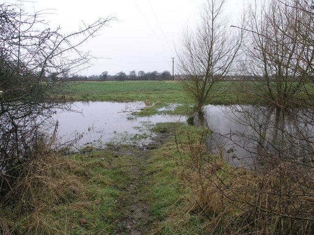
Image: © Michael Patterson Taken: 22 Feb 2007
The two ponds which usually flank this footpath to Tilley have joined their shores and overwhelmed the path.
Images are licensed for reuse under creativecommons.org/licenses/by-sa/2.0
Image Location
Latitude
52.843152
Longitude
-2.724776