Junction with Dalquhurn Lane
Introduction
The photograph on this page of Junction with Dalquhurn Lane by Barbara Carr as part of the Geograph project.
The Geograph project started in 2005 with the aim of publishing, organising and preserving representative images for every square kilometre of Great Britain, Ireland and the Isle of Man.

There are currently over 7.5m images from over 14,400 individuals and you can help contribute to the project by visiting https://www.geograph.org.uk
Junction with Dalquhurn Lane
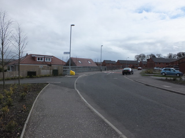
Image: © Barbara Carr Taken: 21 Apr 2013
In a new currently off-map housing estate, the road called 'Dalquhurn Lane' leads to the houses at Dalquhurn Point.
Images are licensed for reuse under creativecommons.org/licenses/by-sa/2.0
Image Location
Latitude
55.966688
Longitude
-4.580267