Footpath junction beside the River Leven
Introduction
The photograph on this page of Footpath junction beside the River Leven by Barbara Carr as part of the Geograph project.
The Geograph project started in 2005 with the aim of publishing, organising and preserving representative images for every square kilometre of Great Britain, Ireland and the Isle of Man.

There are currently over 7.5m images from over 14,400 individuals and you can help contribute to the project by visiting https://www.geograph.org.uk
Footpath junction beside the River Leven
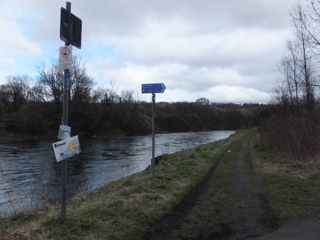
Image: © Barbara Carr Taken: 21 Apr 2013
An optional 'loop' in the walkway beside the River Leven - to the right, it is two and a half miles to Dumbarton and 17 miles to Glasgow (taking the 'loop' would add about an extra mile). On the post to the left is a directional sign for the KiltWalk, see Image
Images are licensed for reuse under creativecommons.org/licenses/by-sa/2.0
Image Location
Latitude
55.975438
Longitude
-4.578766