Looking up Pound Lane, Ringmore
Introduction
The photograph on this page of Looking up Pound Lane, Ringmore by Robin Stott as part of the Geograph project.
The Geograph project started in 2005 with the aim of publishing, organising and preserving representative images for every square kilometre of Great Britain, Ireland and the Isle of Man.

There are currently over 7.5m images from over 14,400 individuals and you can help contribute to the project by visiting https://www.geograph.org.uk
Looking up Pound Lane, Ringmore
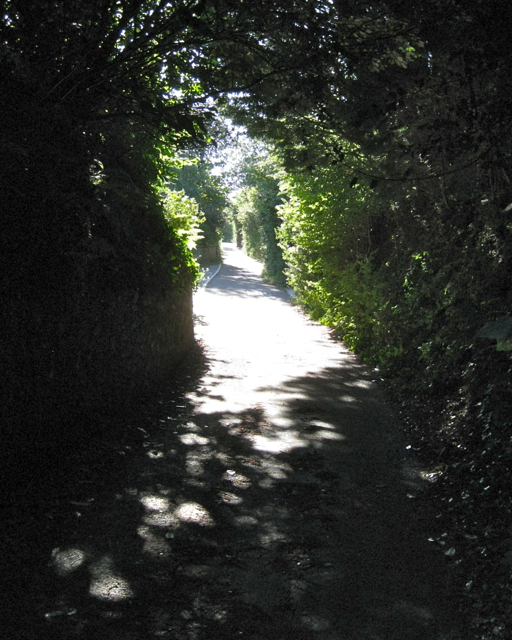
Image: © Robin Stott Taken: 20 Aug 2012
From Higher Ringmore Road lanes climb steeply up, as here, to join Long Lane, or down into the brook valley.
Images are licensed for reuse under creativecommons.org/licenses/by-sa/2.0
Image Location
Latitude
50.538474
Longitude
-3.51962