Railway Bridge
Introduction
The photograph on this page of Railway Bridge by Tony Atkin as part of the Geograph project.
The Geograph project started in 2005 with the aim of publishing, organising and preserving representative images for every square kilometre of Great Britain, Ireland and the Isle of Man.

There are currently over 7.5m images from over 14,400 individuals and you can help contribute to the project by visiting https://www.geograph.org.uk
Railway Bridge
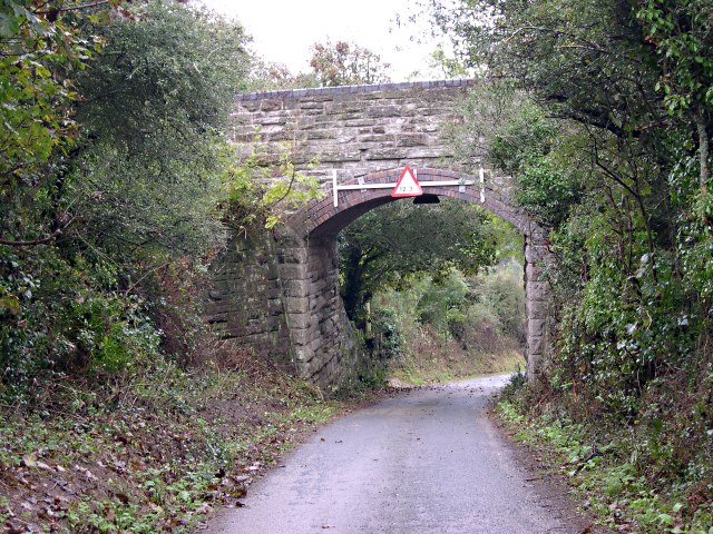
Image: © Tony Atkin Taken: 8 Oct 2005
This bridge over a minor road used to take the branch line to Perranport, long since closed.
Images are licensed for reuse under creativecommons.org/licenses/by-sa/2.0
Image Location


Leaflet Map data © OpenStreetMap
Latitude
50.320069
Longitude
-5.160558