L?n Eifion Cycleway, Penygroes
Introduction
The photograph on this page of L?n Eifion Cycleway, Penygroes by Jaggery as part of the Geograph project.
The Geograph project started in 2005 with the aim of publishing, organising and preserving representative images for every square kilometre of Great Britain, Ireland and the Isle of Man.

There are currently over 7.5m images from over 14,400 individuals and you can help contribute to the project by visiting https://www.geograph.org.uk
L?n Eifion Cycleway, Penygroes
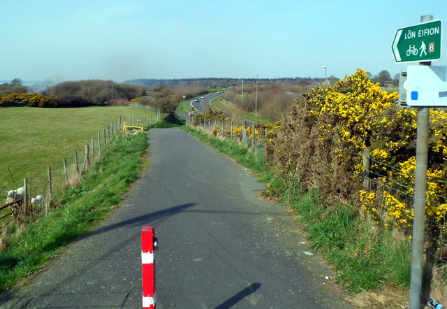
Image: © Jaggery Taken: 24 Mar 2012
Viewed from the western edge of this http://www.geograph.org.uk/photo/3465052 footbridge. Part of National Cycle Network Route 8, Lôn Eifion Cycleway extends from Caernarfon to Bryncir. This is part of the Penygroes section alongside the A487.
Images are licensed for reuse under creativecommons.org/licenses/by-sa/2.0
Image Location


Leaflet Map data © OpenStreetMap
Latitude
53.053009
Longitude
-4.289248