Path alongside the A487, Penygroes
Introduction
The photograph on this page of Path alongside the A487, Penygroes by Jaggery as part of the Geograph project.
The Geograph project started in 2005 with the aim of publishing, organising and preserving representative images for every square kilometre of Great Britain, Ireland and the Isle of Man.

There are currently over 7.5m images from over 14,400 individuals and you can help contribute to the project by visiting https://www.geograph.org.uk
Path alongside the A487, Penygroes
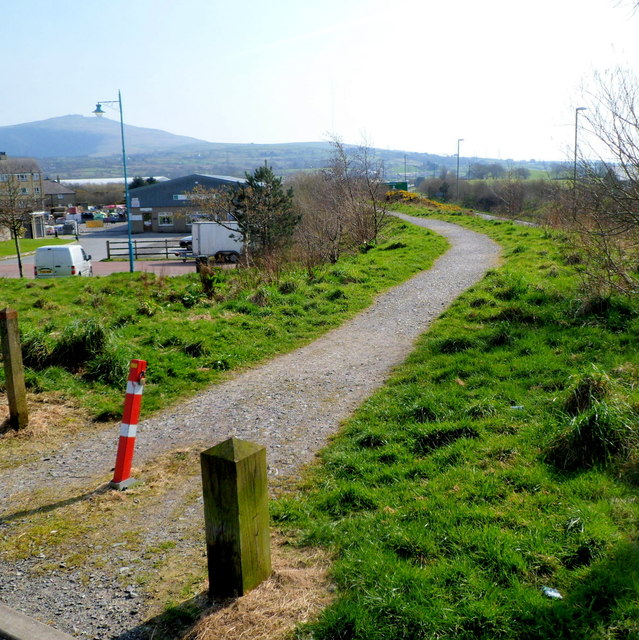
Image: © Jaggery Taken: 24 Mar 2012
Viewed from the eastern end of a footbridge http://www.geograph.org.uk/photo/3465032 over the A487.
Images are licensed for reuse under creativecommons.org/licenses/by-sa/2.0
Image Location


Leaflet Map data © OpenStreetMap
Latitude
53.051949
Longitude
-4.288296