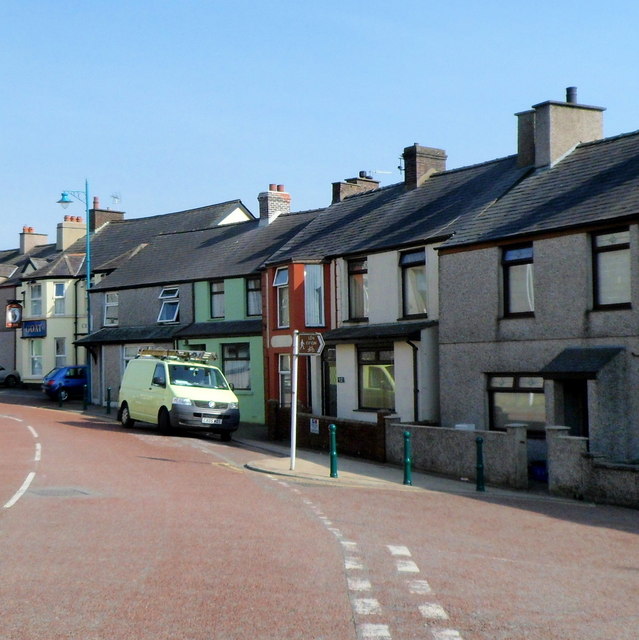
Station Road, Penygroes
Introduction
The photograph on this page of Station Road, Penygroes by Jaggery as part of the Geograph project.
The Geograph project started in 2005 with the aim of publishing, organising and preserving representative images for every square kilometre of Great Britain, Ireland and the Isle of Man.
There are currently over 7.5m images from over 14,400 individuals and you can help contribute to the project by visiting https://www.geograph.org.uk

Image: © Jaggery Taken: 24 Mar 2012
Viewed from Ffordd Clynnog looking towards the Goat (Yr Afr) pub http://www.geograph.org.uk/photo/3462025 at the left edge of the view. The name of the road was the only evidence I could find of the former Penygroes railway station, shown on old maps near the camera location. The station closed in 1964. The course of the nearby A487 uses the trackbed of the dismantled railway.

