Gavenny Way, Abergavenny
Introduction
The photograph on this page of Gavenny Way, Abergavenny by Jaggery as part of the Geograph project.
The Geograph project started in 2005 with the aim of publishing, organising and preserving representative images for every square kilometre of Great Britain, Ireland and the Isle of Man.

There are currently over 7.5m images from over 14,400 individuals and you can help contribute to the project by visiting https://www.geograph.org.uk
Gavenny Way, Abergavenny
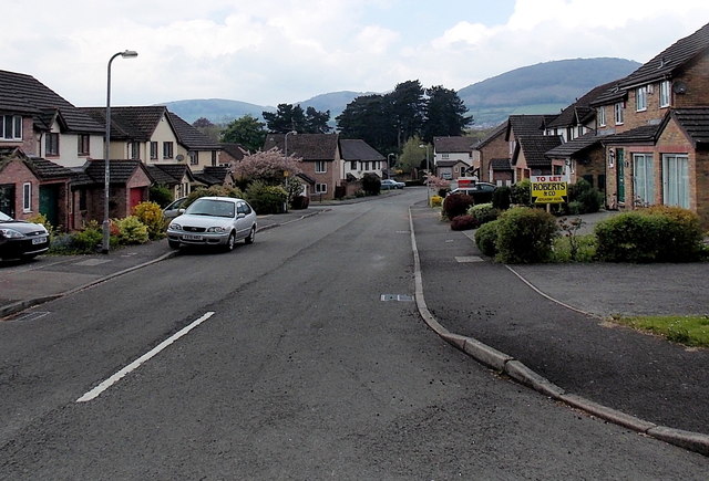
Image: © Jaggery Taken: 17 May 2013
Viewed from the B4233 Old Monmouth Road. Ahead is the left turn into Ostringen Close. Östringen in Germany is one of Abergavenny's twin towns.
Images are licensed for reuse under creativecommons.org/licenses/by-sa/2.0
Image Location
Latitude
51.823242
Longitude
-3.010809