Potential development site, Harryville, Ballymena
Introduction
The photograph on this page of Potential development site, Harryville, Ballymena by Albert Bridge as part of the Geograph project.
The Geograph project started in 2005 with the aim of publishing, organising and preserving representative images for every square kilometre of Great Britain, Ireland and the Isle of Man.

There are currently over 7.5m images from over 14,400 individuals and you can help contribute to the project by visiting https://www.geograph.org.uk
Potential development site, Harryville, Ballymena
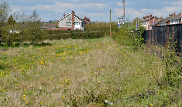
Image: © Albert Bridge Taken: 17 May 2013
A very small part of a cleared site, fronting the Larne Road, offered for sale as a “potential development site” and described by the agent as a “Site at Larne Road Ballymena formally [sic] St Mary's Primary School. Site circa 4.57 acres with access from Larne Road available for mixed use subject to necessary planning permission”. This photograph appears as a matter of record only. I have no connection with any of the parties involved in the sale. Continue to Image
Images are licensed for reuse under creativecommons.org/licenses/by-sa/2.0
Image Location
Latitude
54.854565
Longitude
-6.262781