Bestwood NG5, Notts.
Introduction
The photograph on this page of Bestwood NG5, Notts. by David Hallam-Jones as part of the Geograph project.
The Geograph project started in 2005 with the aim of publishing, organising and preserving representative images for every square kilometre of Great Britain, Ireland and the Isle of Man.

There are currently over 7.5m images from over 14,400 individuals and you can help contribute to the project by visiting https://www.geograph.org.uk
Bestwood NG5, Notts.
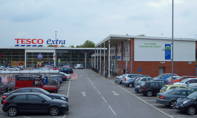
Image: © David Hallam-Jones Taken: 17 May 2013
It may be the case that Tesco plc. secured planning permission for the construction of this large supermarket following agreement to build this Community Centre that now houses clinic facilities and health worker's offices. These facilities are seen here from a short, elevated path that joins the nearby A611 (Hucknall Road).
Images are licensed for reuse under creativecommons.org/licenses/by-sa/2.0
Image Location
Latitude
53.002276
Longitude
-1.179493