Footpath to Gilfach Fargoed railway station
Introduction
The photograph on this page of Footpath to Gilfach Fargoed railway station by Jaggery as part of the Geograph project.
The Geograph project started in 2005 with the aim of publishing, organising and preserving representative images for every square kilometre of Great Britain, Ireland and the Isle of Man.

There are currently over 7.5m images from over 14,400 individuals and you can help contribute to the project by visiting https://www.geograph.org.uk
Footpath to Gilfach Fargoed railway station
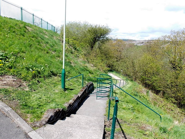
Image: © Jaggery Taken: 15 May 2013
Viewed from the edge of Aeron Place looking towards the station. http://www.geograph.org.uk/photo/3463192 Vehicles access the station via Angel Lane.
Images are licensed for reuse under creativecommons.org/licenses/by-sa/2.0
Image Location
Latitude
51.682892
Longitude
-3.227255