"Sawtell's Farm", Wearne, Somerset
Introduction
The photograph on this page of "Sawtell's Farm", Wearne, Somerset by Ruth Sharville as part of the Geograph project.
The Geograph project started in 2005 with the aim of publishing, organising and preserving representative images for every square kilometre of Great Britain, Ireland and the Isle of Man.

There are currently over 7.5m images from over 14,400 individuals and you can help contribute to the project by visiting https://www.geograph.org.uk
"Sawtell's Farm", Wearne, Somerset
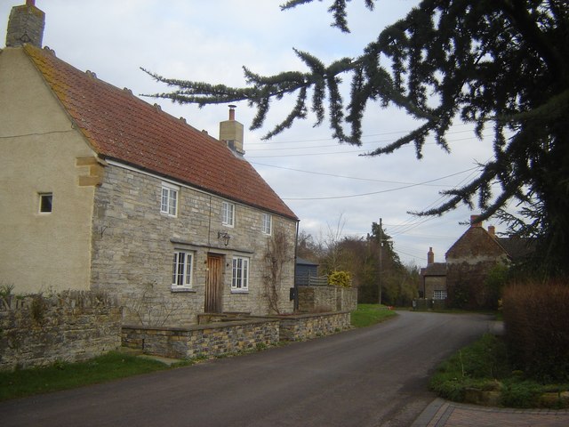
Image: © Ruth Sharville Taken: 27 Jan 2007
Wearne is a linear village, and this house is on the main street. Farm buildings dominate the village.
Images are licensed for reuse under creativecommons.org/licenses/by-sa/2.0
Image Location


Leaflet Map data © OpenStreetMap
Latitude
51.049747
Longitude
-2.817113