The green at Lettaford
Introduction
The photograph on this page of The green at Lettaford by David Gearing as part of the Geograph project.
The Geograph project started in 2005 with the aim of publishing, organising and preserving representative images for every square kilometre of Great Britain, Ireland and the Isle of Man.

There are currently over 7.5m images from over 14,400 individuals and you can help contribute to the project by visiting https://www.geograph.org.uk
The green at Lettaford
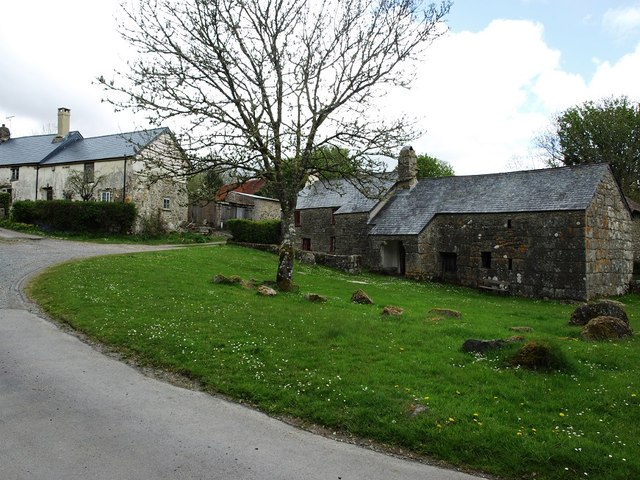
Image: © David Gearing Taken: 16 May 2013
The Sanders longhouse is on the right, with the shippon end of Southmeads farmhouse on the left. The latter is currently being renovated.
Images are licensed for reuse under creativecommons.org/licenses/by-sa/2.0
Image Location
Latitude
50.641552
Longitude
-3.837066