Cardington Hangars 1 and 2
Introduction
The photograph on this page of Cardington Hangars 1 and 2 by Peter Evans as part of the Geograph project.
The Geograph project started in 2005 with the aim of publishing, organising and preserving representative images for every square kilometre of Great Britain, Ireland and the Isle of Man.

There are currently over 7.5m images from over 14,400 individuals and you can help contribute to the project by visiting https://www.geograph.org.uk
Cardington Hangars 1 and 2
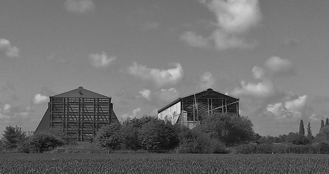
Image: © Peter Evans Taken: 16 May 2013
The massive Cardington Airship Hangars 1 and 2 brooding over the neighbouring arable land - 180 feet high and 280 feet wide at their base they dominate the surrounding countryside. Hangar 1 to the right is currently being repaired and re-clad. http://en.wikipedia.org/wiki/Cardington,_Bedfordshire
Images are licensed for reuse under creativecommons.org/licenses/by-sa/2.0
Image Location
Latitude
52.109758
Longitude
-0.421155