Railway and underpass, Gilfach
Introduction
The photograph on this page of Railway and underpass, Gilfach by Jaggery as part of the Geograph project.
The Geograph project started in 2005 with the aim of publishing, organising and preserving representative images for every square kilometre of Great Britain, Ireland and the Isle of Man.

There are currently over 7.5m images from over 14,400 individuals and you can help contribute to the project by visiting https://www.geograph.org.uk
Railway and underpass, Gilfach
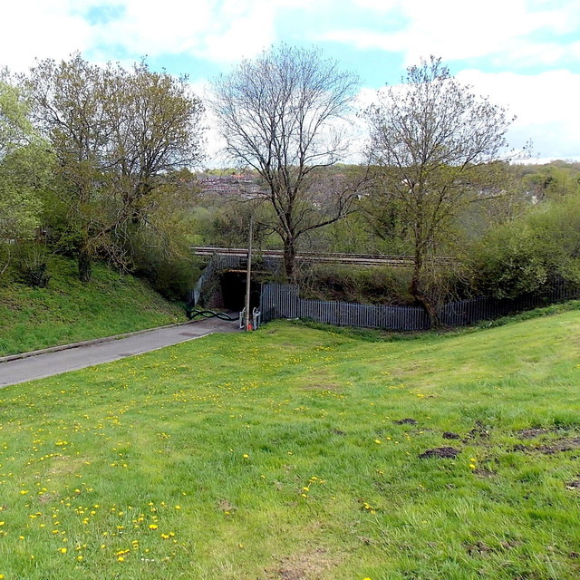
Image: © Jaggery Taken: 15 May 2013
Viewed down sloping ground from the edge of Margaret Street http://www.geograph.org.uk/photo/3461619 looking towards an underpass http://www.geograph.org.uk/photo/3462051 to Parc Coetir Bargod.
Images are licensed for reuse under creativecommons.org/licenses/by-sa/2.0
Image Location
Latitude
51.678065
Longitude
-3.224521