Beith Auld Kirk and The Cross
Introduction
The photograph on this page of Beith Auld Kirk and The Cross by Chris Court as part of the Geograph project.
The Geograph project started in 2005 with the aim of publishing, organising and preserving representative images for every square kilometre of Great Britain, Ireland and the Isle of Man.

There are currently over 7.5m images from over 14,400 individuals and you can help contribute to the project by visiting https://www.geograph.org.uk
Beith Auld Kirk and The Cross
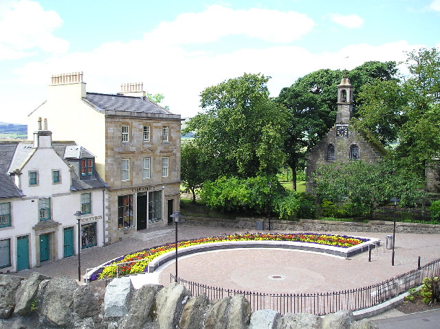
Image: © Chris Court Taken: 7 Aug 2005
Buildings recently renovated under the Beith Townscape Heritage Initiative.Information on the Auld Kirk at www.beithparishchurches.co.uk
Images are licensed for reuse under creativecommons.org/licenses/by-sa/2.0
Image Location


Leaflet Map data © OpenStreetMap
Latitude
55.750195
Longitude
-4.63368