The Tullydonnell Road approaching the junction with the A29 at Tullydonnell
Introduction
The photograph on this page of The Tullydonnell Road approaching the junction with the A29 at Tullydonnell by Eric Jones as part of the Geograph project.
The Geograph project started in 2005 with the aim of publishing, organising and preserving representative images for every square kilometre of Great Britain, Ireland and the Isle of Man.

There are currently over 7.5m images from over 14,400 individuals and you can help contribute to the project by visiting https://www.geograph.org.uk
The Tullydonnell Road approaching the junction with the A29 at Tullydonnell
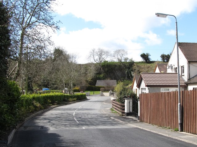
Image: © Eric Jones Taken: 30 Apr 2013
A short distance down the road, the A29 crosses into Co Louth and becomes the R177 (Dundalk) Road.
Images are licensed for reuse under creativecommons.org/licenses/by-sa/2.0
Image Location
Latitude
54.079065
Longitude
-6.507729