Looking up Marischal Street, Aberdeen
Introduction
The photograph on this page of Looking up Marischal Street, Aberdeen by Bill Harrison as part of the Geograph project.
The Geograph project started in 2005 with the aim of publishing, organising and preserving representative images for every square kilometre of Great Britain, Ireland and the Isle of Man.

There are currently over 7.5m images from over 14,400 individuals and you can help contribute to the project by visiting https://www.geograph.org.uk
Looking up Marischal Street, Aberdeen
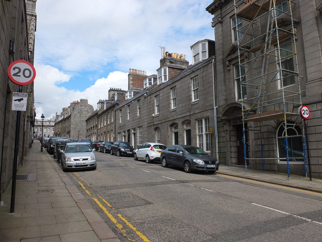
Image: © Bill Harrison Taken: 12 May 2013
Marischal Street, connecting the Castlegate and the harbour, was one of the first "modern" (18th Century) streets in Aberdeen and there are too many listed buildings to list...
Images are licensed for reuse under creativecommons.org/licenses/by-sa/2.0
Image Location
Latitude
57.147013
Longitude
-2.09253