Demolition of Tayside House, Dundee
Introduction
The photograph on this page of Demolition of Tayside House, Dundee by William Starkey as part of the Geograph project.
The Geograph project started in 2005 with the aim of publishing, organising and preserving representative images for every square kilometre of Great Britain, Ireland and the Isle of Man.

There are currently over 7.5m images from over 14,400 individuals and you can help contribute to the project by visiting https://www.geograph.org.uk
Demolition of Tayside House, Dundee
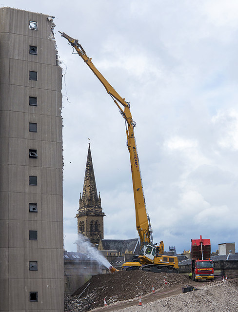
Image: © William Starkey Taken: 15 May 2013
Demolition work in progress at Tayside House, Dundee. This building, constructed in 1972, was once the home of Dundee City Council. The work is being performed by Safedem, whose website contains more information on the demolition project. http://www.taysidehousedemolition.co.uk/?page_id=22
Images are licensed for reuse under creativecommons.org/licenses/by-sa/2.0
Image Location
Latitude
56.459629
Longitude
-2.967747