River Stert - About to Vanish
Introduction
The photograph on this page of River Stert - About to Vanish by Des Blenkinsopp as part of the Geograph project.
The Geograph project started in 2005 with the aim of publishing, organising and preserving representative images for every square kilometre of Great Britain, Ireland and the Isle of Man.

There are currently over 7.5m images from over 14,400 individuals and you can help contribute to the project by visiting https://www.geograph.org.uk
River Stert - About to Vanish
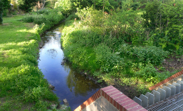
Image: © Des Blenkinsopp Taken: 13 May 2013
The River Stert is a short brook around 6km long rising from springs in the hills just north of Abingdon. Surrounded now by housing through the north of the town, here is where it finally goes underground into a culvert beneath the town centre down to the Thames.
Images are licensed for reuse under creativecommons.org/licenses/by-sa/2.0
Image Location
Latitude
51.673446
Longitude
-1.282098