Trans Pennine Trail/Midshires Way/River Tame Path junction
Introduction
The photograph on this page of Trans Pennine Trail/Midshires Way/River Tame Path junction by John Topping as part of the Geograph project.
The Geograph project started in 2005 with the aim of publishing, organising and preserving representative images for every square kilometre of Great Britain, Ireland and the Isle of Man.

There are currently over 7.5m images from over 14,400 individuals and you can help contribute to the project by visiting https://www.geograph.org.uk
Trans Pennine Trail/Midshires Way/River Tame Path junction
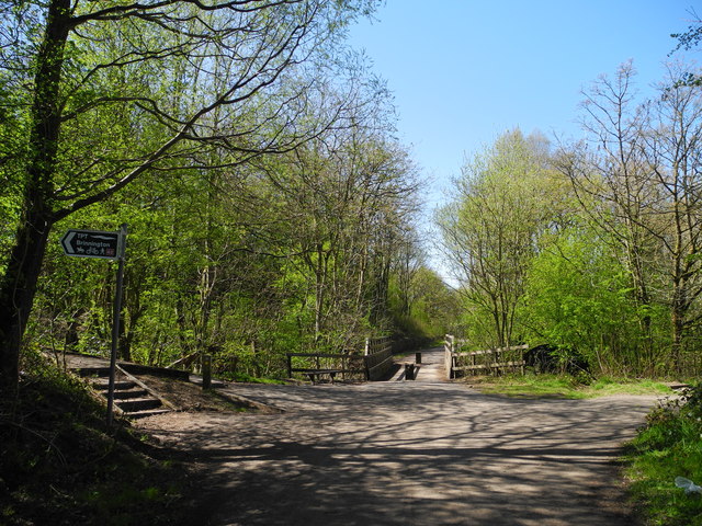
Image: © John Topping Taken: 2 May 2013
Left for Brinnington (Trans Pennine Tail), right for the River Tame Path. Forward across the Bridleway bridge for the Midshires Way leading to Tiviot Dale and Stockpot town centre. See Image and Image
Images are licensed for reuse under creativecommons.org/licenses/by-sa/2.0
Image Location
Latitude
53.422822
Longitude
-2.141711