Speedy's Path, Earlston
Introduction
The photograph on this page of Speedy's Path, Earlston by Richard Webb as part of the Geograph project.
The Geograph project started in 2005 with the aim of publishing, organising and preserving representative images for every square kilometre of Great Britain, Ireland and the Isle of Man.

There are currently over 7.5m images from over 14,400 individuals and you can help contribute to the project by visiting https://www.geograph.org.uk
Speedy's Path, Earlston
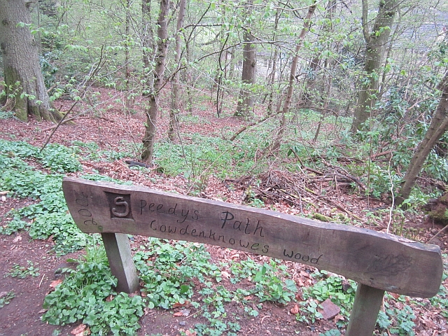
Image: © Richard Webb Taken: 12 May 2013
Sign at the northern end. The path joins up with the new paths on either bank of the Leader Water that run to Leaderfoot. That's all, just a sign to recognise the hard work that went into these lovely paths and not several sheets of tatty NO-tices that you often get, especially down the road in England. This adds so much to the user experience and is really appreciated.
Images are licensed for reuse under creativecommons.org/licenses/by-sa/2.0
Image Location


Leaflet Map data © OpenStreetMap
Latitude
55.634055
Longitude
-2.676306