Dere Street, near Esh Winning
Introduction
The photograph on this page of Dere Street, near Esh Winning by Oliver Dixon as part of the Geograph project.
The Geograph project started in 2005 with the aim of publishing, organising and preserving representative images for every square kilometre of Great Britain, Ireland and the Isle of Man.

There are currently over 7.5m images from over 14,400 individuals and you can help contribute to the project by visiting https://www.geograph.org.uk
Dere Street, near Esh Winning
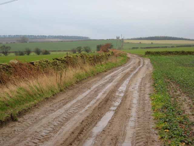
Image: © Oliver Dixon Taken: 23 Feb 2007
Dere Street is a Roman Road which ran from York to the Firth of Forth. http://en.wikipedia.org/wiki/Dere_Street In Yorkshire, it is mainly followed by the A1, in Northumberland the A68, but through most of County Durham, it is today either a minor way or just a dotted line on the map. At this point, it is just a muddy farm track with the status of public footpath. For a gallery of Geographs taken along Dere Street, see http://www.geograph.org.uk/search.php?i=910431
Images are licensed for reuse under creativecommons.org/licenses/by-sa/2.0
Image Location
Latitude
54.770259
Longitude
-1.682724