Former Holy Family Primary School site
Introduction
The photograph on this page of Former Holy Family Primary School site by Thomas Nugent as part of the Geograph project.
The Geograph project started in 2005 with the aim of publishing, organising and preserving representative images for every square kilometre of Great Britain, Ireland and the Isle of Man.

There are currently over 7.5m images from over 14,400 individuals and you can help contribute to the project by visiting https://www.geograph.org.uk
Former Holy Family Primary School site
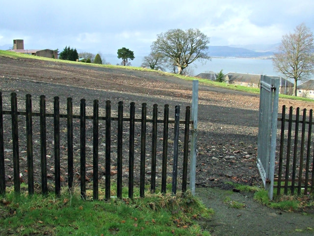
Image: © Thomas Nugent Taken: 1 Mar 2009
The pedestrians only back gate which lead to the footpath between Northfield Avenue and Parkhill Avenue. The site is now a housing estate. Holy Family church tower can be seen on the left.
Images are licensed for reuse under creativecommons.org/licenses/by-sa/2.0
Image Location
Latitude
55.927421
Longitude
-4.655782