Demolition, Bangor
Introduction
The photograph on this page of Demolition, Bangor by Rossographer as part of the Geograph project.
The Geograph project started in 2005 with the aim of publishing, organising and preserving representative images for every square kilometre of Great Britain, Ireland and the Isle of Man.

There are currently over 7.5m images from over 14,400 individuals and you can help contribute to the project by visiting https://www.geograph.org.uk
Demolition, Bangor
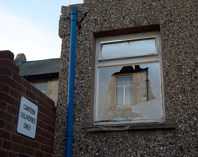
Image: © Rossographer Taken: 21 Apr 2013
A smashed window in what remains of the assembly hall. The Crosby building behind will be retained.
Images are licensed for reuse under creativecommons.org/licenses/by-sa/2.0
Image Location
Latitude
54.664629
Longitude
-5.659263