Flood plain of Morlas Brook
Introduction
The photograph on this page of Flood plain of Morlas Brook by John Haynes as part of the Geograph project.
The Geograph project started in 2005 with the aim of publishing, organising and preserving representative images for every square kilometre of Great Britain, Ireland and the Isle of Man.

There are currently over 7.5m images from over 14,400 individuals and you can help contribute to the project by visiting https://www.geograph.org.uk
Flood plain of Morlas Brook
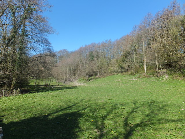
Image: © John Haynes Taken: 2 May 2013
The current watercourse is fed by local springs, and it is relatively small but the flood plain says something bigger, it probably dates from Ice Age melt. "Sinks" are mentioned a lot around here and that is probably related to the carboniferous limestone that is not far below the surface which would allow water to go underground.
Images are licensed for reuse under creativecommons.org/licenses/by-sa/2.0
Image Location
Latitude
52.902019
Longitude
-3.081383