Sign on Coalpit Lane
Introduction
The photograph on this page of Sign on Coalpit Lane by John Haynes as part of the Geograph project.
The Geograph project started in 2005 with the aim of publishing, organising and preserving representative images for every square kilometre of Great Britain, Ireland and the Isle of Man.

There are currently over 7.5m images from over 14,400 individuals and you can help contribute to the project by visiting https://www.geograph.org.uk
Sign on Coalpit Lane
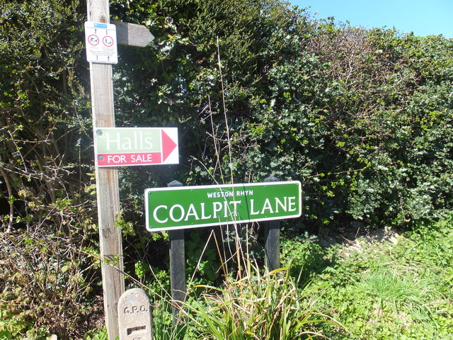
Image: © John Haynes Taken: 2 May 2013
This area is the southern edge of the Shropshire and North Wales Coalfield and the mine connected to this lane is probably that at Quinta (Trehowell) which was operating in 1878-1879. This track and the footpath leading from it is certainly heading in the right direction and as walking to work was normal at that time it would seem reasonable to assume this was true. http://shropshiremines.org.uk/misc/shropmine/northshropshire_coalfield.htm
Images are licensed for reuse under creativecommons.org/licenses/by-sa/2.0
Image Location
Latitude
52.90316
Longitude
-3.064462