Stumps Hill Lane
Introduction
The photograph on this page of Stumps Hill Lane by Derek Harper as part of the Geograph project.
The Geograph project started in 2005 with the aim of publishing, organising and preserving representative images for every square kilometre of Great Britain, Ireland and the Isle of Man.

There are currently over 7.5m images from over 14,400 individuals and you can help contribute to the project by visiting https://www.geograph.org.uk
Stumps Hill Lane
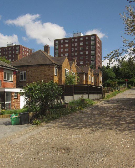
Image: © Derek Harper Taken: 9 May 2013
The Green Chain Walk climbs up this unmade road linking Worsley Bridge Road to Southend Road.
Images are licensed for reuse under creativecommons.org/licenses/by-sa/2.0
Image Location
Latitude
51.41893
Longitude
-0.024825