Exposed rocks by the Nidderdale Way
Introduction
The photograph on this page of Exposed rocks by the Nidderdale Way by Bill Boaden as part of the Geograph project.
The Geograph project started in 2005 with the aim of publishing, organising and preserving representative images for every square kilometre of Great Britain, Ireland and the Isle of Man.

There are currently over 7.5m images from over 14,400 individuals and you can help contribute to the project by visiting https://www.geograph.org.uk
Exposed rocks by the Nidderdale Way
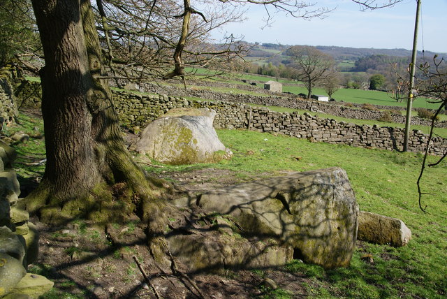
Image: © Bill Boaden Taken: 6 May 2013
There are several parallel dry stone walls running down into Nidderdale. These rocks interrupt the farmland. On the skyline, and partly behind the trees, are Brimham Rocks with much more dramatic rocks.
Images are licensed for reuse under creativecommons.org/licenses/by-sa/2.0
Image Location


Leaflet Map data © OpenStreetMap
Latitude
54.08068
Longitude
-1.718113