Path to Winsford Road
Introduction
The photograph on this page of Path to Winsford Road by Derek Harper as part of the Geograph project.
The Geograph project started in 2005 with the aim of publishing, organising and preserving representative images for every square kilometre of Great Britain, Ireland and the Isle of Man.

There are currently over 7.5m images from over 14,400 individuals and you can help contribute to the project by visiting https://www.geograph.org.uk
Path to Winsford Road
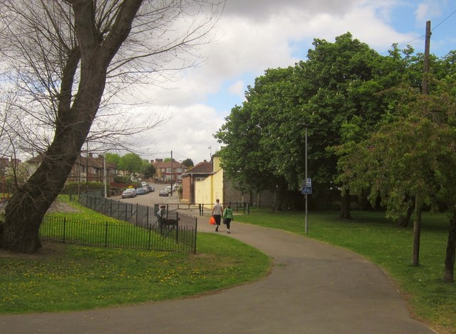
Image: © Derek Harper Taken: 9 May 2013
Following the line of Broadmead and the railway footbridge as it crosses the Pool River and its linear park, and re-enters housing on Winsford Road.
Images are licensed for reuse under creativecommons.org/licenses/by-sa/2.0
Image Location
Latitude
51.433847
Longitude
-0.029505