Church Street and Water Street
Introduction
The photograph on this page of Church Street and Water Street by Des Blenkinsopp as part of the Geograph project.
The Geograph project started in 2005 with the aim of publishing, organising and preserving representative images for every square kilometre of Great Britain, Ireland and the Isle of Man.

There are currently over 7.5m images from over 14,400 individuals and you can help contribute to the project by visiting https://www.geograph.org.uk
Church Street and Water Street
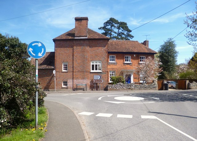
Image: © Des Blenkinsopp Taken: 2 May 2013
Water Street is so named because the River Pang flows beside and occasionally over it. The name Hampstead Norreys is formed from the generic "hamstede" or homestead and from John Norreys who bought the place in 1450.
Images are licensed for reuse under creativecommons.org/licenses/by-sa/2.0
Image Location
Latitude
51.484001
Longitude
-1.240144