Railway between Sydenham and Forest Hill
Introduction
The photograph on this page of Railway between Sydenham and Forest Hill by Derek Harper as part of the Geograph project.
The Geograph project started in 2005 with the aim of publishing, organising and preserving representative images for every square kilometre of Great Britain, Ireland and the Isle of Man.

There are currently over 7.5m images from over 14,400 individuals and you can help contribute to the project by visiting https://www.geograph.org.uk
Railway between Sydenham and Forest Hill
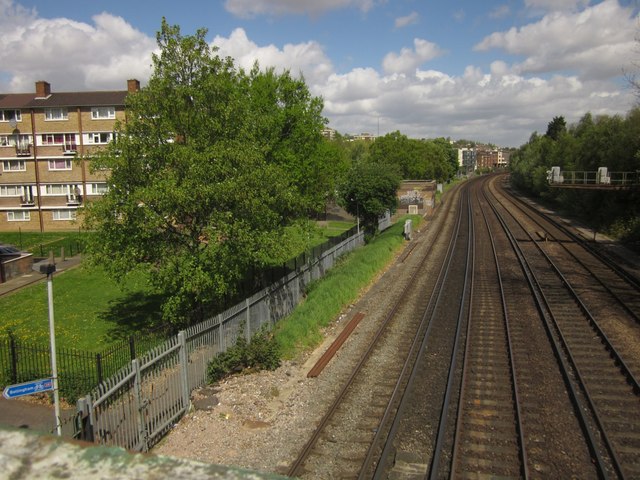
Image: © Derek Harper Taken: 9 May 2013
See Image; this wider view includes some of the flats at Longfield Crescent on the left. Down at Lower left is a blue sign directing cyclists to Bellingham along route 26, which involves crossing the high footbridge from which this was taken. This has narrow wheeling ramps.
Images are licensed for reuse under creativecommons.org/licenses/by-sa/2.0
Image Location
Latitude
51.434156
Longitude
-0.053375