The Northern Rotunda
Introduction
The photograph on this page of The Northern Rotunda by Barbara Carr as part of the Geograph project.
The Geograph project started in 2005 with the aim of publishing, organising and preserving representative images for every square kilometre of Great Britain, Ireland and the Isle of Man.

There are currently over 7.5m images from over 14,400 individuals and you can help contribute to the project by visiting https://www.geograph.org.uk
The Northern Rotunda
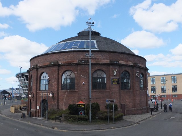
Image: © Barbara Carr Taken: 19 Apr 2013
Former entrance to a tunnel under the Clyde, see http://www.hiddenglasgow.com/rotundas/index.htm , now an oriental restaurant.
Images are licensed for reuse under creativecommons.org/licenses/by-sa/2.0
Image Location
Latitude
55.858321
Longitude
-4.283191