Site of former Elvington station, 1993
Introduction
The photograph on this page of Site of former Elvington station, 1993 by Ben Brooksbank as part of the Geograph project.
The Geograph project started in 2005 with the aim of publishing, organising and preserving representative images for every square kilometre of Great Britain, Ireland and the Isle of Man.

There are currently over 7.5m images from over 14,400 individuals and you can help contribute to the project by visiting https://www.geograph.org.uk
Site of former Elvington station, 1993
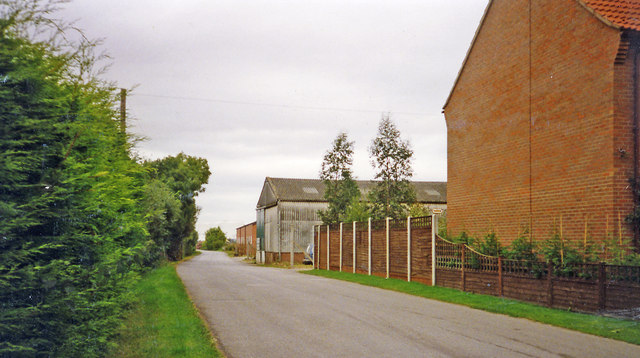
Image: © Ben Brooksbank Taken: 3 Sep 1993
View northward on the B1228 road, towards York: former Derwent Valley Light Railway. The station closed and the passenger service (York Layerthorpe - Cliffe Common) ceased 1/9/26, but goods were handled here until 30/9/72 and the line did not close entirely until 27/9/81. (See also Image]).
Images are licensed for reuse under creativecommons.org/licenses/by-sa/2.0
Image Location
Latitude
53.925156
Longitude
-0.949526