Alleyway down west side of church yard
Introduction
The photograph on this page of Alleyway down west side of church yard by Hugh Craddock as part of the Geograph project.
The Geograph project started in 2005 with the aim of publishing, organising and preserving representative images for every square kilometre of Great Britain, Ireland and the Isle of Man.

There are currently over 7.5m images from over 14,400 individuals and you can help contribute to the project by visiting https://www.geograph.org.uk
Alleyway down west side of church yard
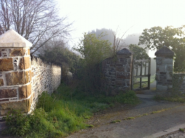
Image: © Hugh Craddock Taken: 30 Apr 2013
An overgrown lane leads down from Park Road to Parsonage Court and Fore Street, along the west side of St Mary's church yard. Apparently unused and not recorded on the definitive map of rights of way, but presumably a public way, this one is typical of those which may be lost if not claimed by 2026. Surprising that such lanes can be neglected even in the heart of a village.
Images are licensed for reuse under creativecommons.org/licenses/by-sa/2.0
Image Location
Latitude
50.642172
Longitude
-4.284891