The Soldierstown Bridge, Moira/Aghalee (2013)
Introduction
The photograph on this page of The Soldierstown Bridge, Moira/Aghalee (2013) by Albert Bridge as part of the Geograph project.
The Geograph project started in 2005 with the aim of publishing, organising and preserving representative images for every square kilometre of Great Britain, Ireland and the Isle of Man.

There are currently over 7.5m images from over 14,400 individuals and you can help contribute to the project by visiting https://www.geograph.org.uk
The Soldierstown Bridge, Moira/Aghalee (2013)
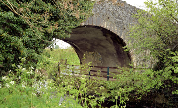
Image: © Albert Bridge Taken: 12 May 2013
See Image (May 2006). The bridge across the old Lagan canal looking much as it did seven years ago but with a noticeable growth in the surrounding vegetation. Image shows a road-level view.
Images are licensed for reuse under creativecommons.org/licenses/by-sa/2.0
Image Location
Latitude
54.500514
Longitude
-6.227204