Path near to St Michael and All Angels Church, Blewbury
Introduction
The photograph on this page of Path near to St Michael and All Angels Church, Blewbury by Peter S as part of the Geograph project.
The Geograph project started in 2005 with the aim of publishing, organising and preserving representative images for every square kilometre of Great Britain, Ireland and the Isle of Man.

There are currently over 7.5m images from over 14,400 individuals and you can help contribute to the project by visiting https://www.geograph.org.uk
Path near to St Michael and All Angels Church, Blewbury
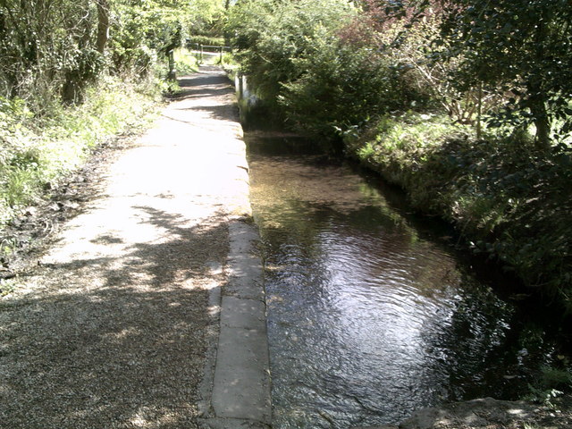
Image: © Peter S Taken: 4 May 2013
A number of public footpaths, bordered by streams, link up parts of the village of Blewbury.
Images are licensed for reuse under creativecommons.org/licenses/by-sa/2.0
Image Location
Latitude
51.569025
Longitude
-1.234543