Grazing land above Gorsyrhwch
Introduction
The photograph on this page of Grazing land above Gorsyrhwch by Philip Halling as part of the Geograph project.
The Geograph project started in 2005 with the aim of publishing, organising and preserving representative images for every square kilometre of Great Britain, Ireland and the Isle of Man.

There are currently over 7.5m images from over 14,400 individuals and you can help contribute to the project by visiting https://www.geograph.org.uk
Grazing land above Gorsyrhwch
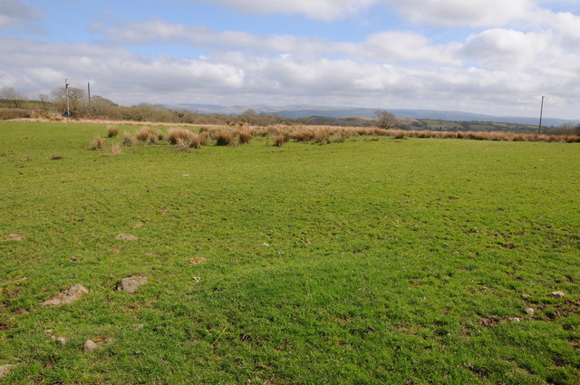
Image: © Philip Halling Taken: 5 May 2013
Upland grazing above Gorsyrhwch to the east of Talley. The high ground on the horizon is the western end of the Brecon Beacons.
Images are licensed for reuse under creativecommons.org/licenses/by-sa/2.0
Image Location
Latitude
51.986655
Longitude
-3.945496