Farmland near Cwmdu
Introduction
The photograph on this page of Farmland near Cwmdu by Philip Halling as part of the Geograph project.
The Geograph project started in 2005 with the aim of publishing, organising and preserving representative images for every square kilometre of Great Britain, Ireland and the Isle of Man.

There are currently over 7.5m images from over 14,400 individuals and you can help contribute to the project by visiting https://www.geograph.org.uk
Farmland near Cwmdu
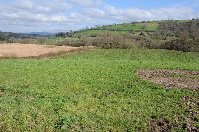
Image: © Philip Halling Taken: 5 May 2013
View across farmland near Cwmdu, part of the Brecon Beacons range can be seen in the distance.
Images are licensed for reuse under creativecommons.org/licenses/by-sa/2.0
Image Location
Latitude
51.955564
Longitude
-3.981989