Mountbatten Road, Totton
Introduction
The photograph on this page of Mountbatten Road, Totton by John Lucas as part of the Geograph project.
The Geograph project started in 2005 with the aim of publishing, organising and preserving representative images for every square kilometre of Great Britain, Ireland and the Isle of Man.

There are currently over 7.5m images from over 14,400 individuals and you can help contribute to the project by visiting https://www.geograph.org.uk
Mountbatten Road, Totton
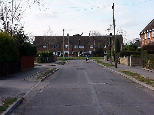
Image: © John Lucas Taken: 12 Mar 2013
A post-war local authority estate in which all of the roads are named after WWII commanders, viz: Mountbatten Road (Supreme Allied Commander South East Asia), Wingate Road (Commanded long-range jungle penetration missions in Burma - Chindits), Harwood Close (Commander of the task force in the Battle of the River Plate), Portal Road (Commander-in-chief of Bomber Command), Tedder Way (Commanded air operations in the Mediterranean and North Africa).
Images are licensed for reuse under creativecommons.org/licenses/by-sa/2.0
Image Location
Latitude
50.920357
Longitude
-1.504299