Down the hill to Mains
Introduction
The photograph on this page of Down the hill to Mains by Barbara Carr as part of the Geograph project.
The Geograph project started in 2005 with the aim of publishing, organising and preserving representative images for every square kilometre of Great Britain, Ireland and the Isle of Man.

There are currently over 7.5m images from over 14,400 individuals and you can help contribute to the project by visiting https://www.geograph.org.uk
Down the hill to Mains
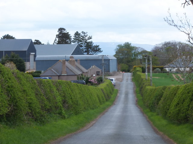
Image: © Barbara Carr Taken: 11 May 2013
Mains Farm, on the minor road to Edington and its Mill.
Images are licensed for reuse under creativecommons.org/licenses/by-sa/2.0
Image Location
Latitude
55.795203
Longitude
-2.166803