A386 north of Pressland House
Introduction
The photograph on this page of A386 north of Pressland House by David Smith as part of the Geograph project.
The Geograph project started in 2005 with the aim of publishing, organising and preserving representative images for every square kilometre of Great Britain, Ireland and the Isle of Man.

There are currently over 7.5m images from over 14,400 individuals and you can help contribute to the project by visiting https://www.geograph.org.uk
A386 north of Pressland House
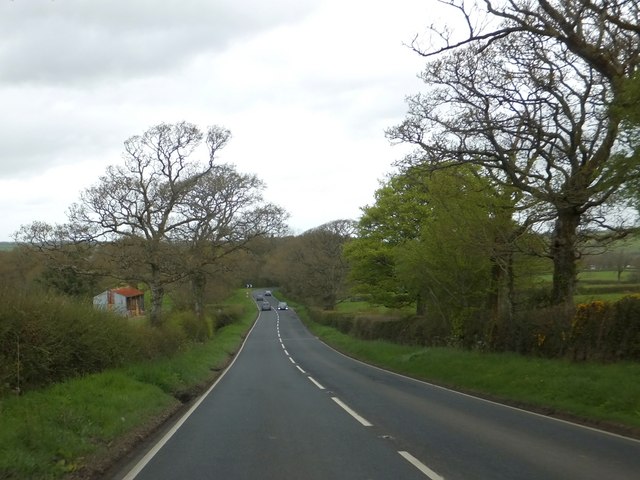
Image: © David Smith Taken: 9 May 2013
The road runs in a straight line; beyond the bend, the hedge boundaries continue that straight line
Images are licensed for reuse under creativecommons.org/licenses/by-sa/2.0
Image Location
Latitude
50.803087
Longitude
-4.057275