Ditch north of Kennel Wood
Introduction
The photograph on this page of Ditch north of Kennel Wood by Andrew Curtis as part of the Geograph project.
The Geograph project started in 2005 with the aim of publishing, organising and preserving representative images for every square kilometre of Great Britain, Ireland and the Isle of Man.

There are currently over 7.5m images from over 14,400 individuals and you can help contribute to the project by visiting https://www.geograph.org.uk
Ditch north of Kennel Wood
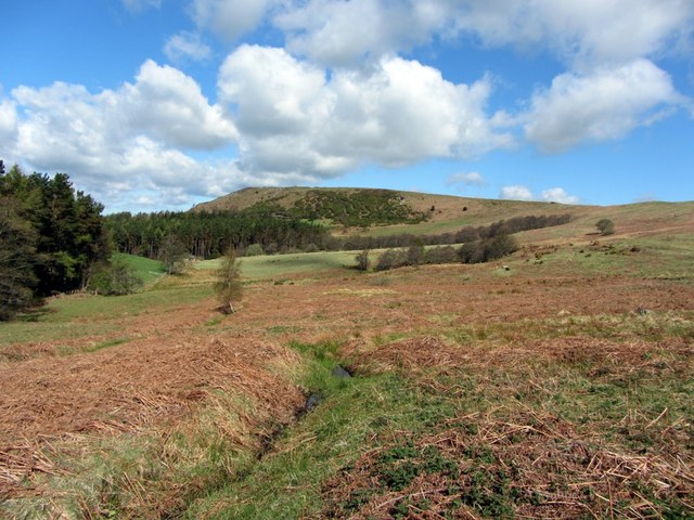
Image: © Andrew Curtis Taken: 10 May 2013
View towards Bewick Hill. Thains Wood is on the left. Photo taken from the bridleway leading over Tick Law to Blawearie. The lower part of the track is shown here Image
Images are licensed for reuse under creativecommons.org/licenses/by-sa/2.0
Image Location
Latitude
55.482024
Longitude
-1.870861