Chapel Cottages, Gelligaer
Introduction
The photograph on this page of Chapel Cottages, Gelligaer by Jaggery as part of the Geograph project.
The Geograph project started in 2005 with the aim of publishing, organising and preserving representative images for every square kilometre of Great Britain, Ireland and the Isle of Man.

There are currently over 7.5m images from over 14,400 individuals and you can help contribute to the project by visiting https://www.geograph.org.uk
Chapel Cottages, Gelligaer
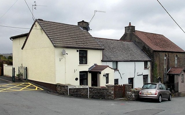
Image: © Jaggery Taken: 10 May 2013
The Castle Hill cottages are between the entrance http://www.geograph.org.uk/photo/3455205 to Gelligaer Cemetery on the left and Horeb chapel http://www.geograph.org.uk/photo/3455198 on the right.
Images are licensed for reuse under creativecommons.org/licenses/by-sa/2.0
Image Location
Latitude
51.664848
Longitude
-3.250046